Transforming Spatial Data Into Smarter Decisions
Everything Happens Somewhere, Start Here
The Spatial Distillery Company helps organisations unlock the power of location.
We take complex spatial data and turn it into clear, practical insights to help you plan better, make confident decisions, and see real results. From government to enterprises, our clients trust us to deliver smart solutions in mapping, analytics, and location intelligence.
Ready to locate success for your organisation? Share your challenge, and we’ll provide the answer.
Location Intelligence Solutions for Smart Organisations
We bring the where into focus across industries, including:
Telecommunications
Powering smarter networks with spatial intelligence.
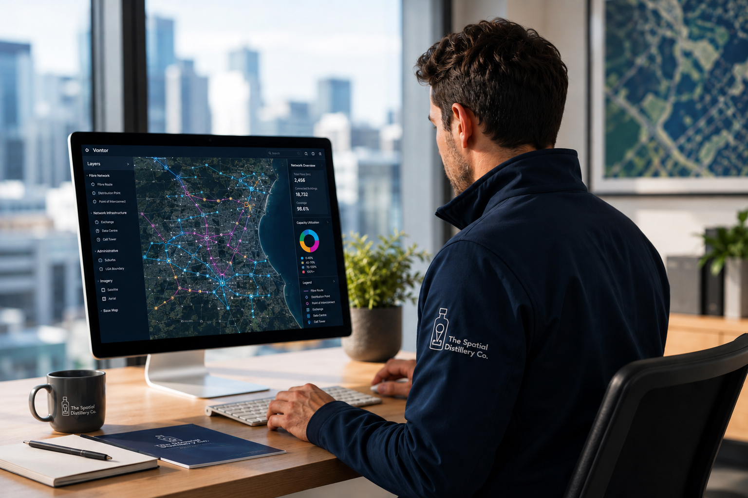
The Spatial Distillery Company helps telecommunications providers map, analyse, and optimise their infrastructure. From fibre planning to service coverage insights, we turn complex geospatial data into clear strategies that drive performance, efficiency, and growth.
Build networks, manage entire lifecycles, and optimise with confidence. Our cloud-based SmartInventory platform enables real-time asset and inventory tracking, while SmartSQ streamlines operations to improve efficiency and customer experience. We also provide high-precision mapping data, Telco data solutions, and advanced modelling with MapInfo Pro to support RF planning, propagation analysis, and smarter network design. Trusted by Telstra, TPG, Vocus, NBN and many telecommunications infrastructure providers and network delivery partners such as Ventia, Downer and Mirait.

Local Government
Helping Councils Understand Place, People & Communities
GIS, Spatial Data & Geo AI Solutions for Local Government - We help more than 150 councils across Australia turn spatial data into better decisions. From GIS and location intelligence to demographic analysis, vegetation mapping, planning tools and public-facing maps, we help local governments understand their communities, improve services and plan with confidence.
The Spatial Distillery Company brings together GIS, spatial data, location intelligence and Geo AI to help councils transform the way they manage information, analyse places and deliver services to their communities.
Exploration & Mining
Mining GIS, Satellite Imagery & Spatial Data Solutions
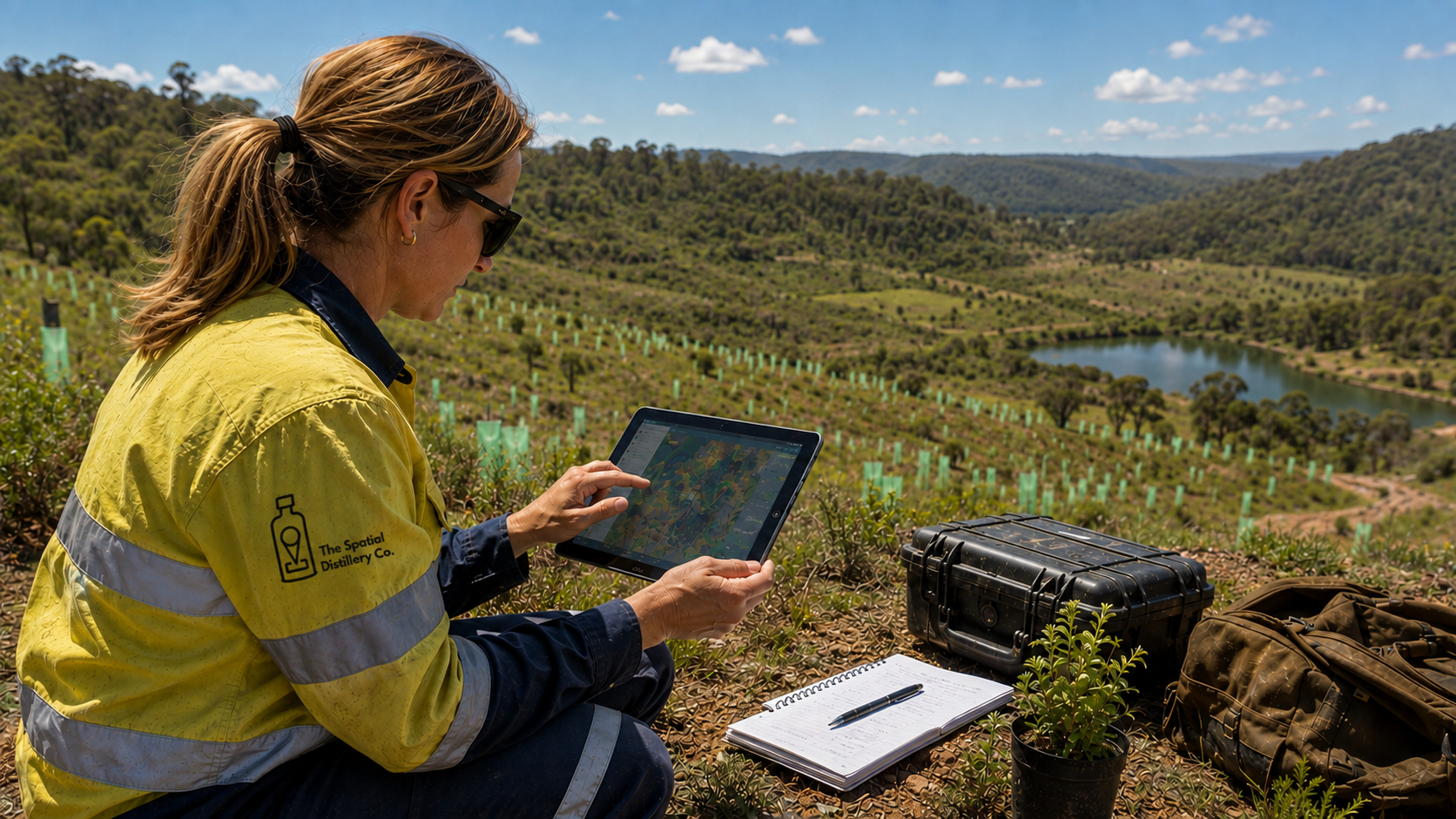
We support mining and exploration teams with comprehensive GIS, spatial data and remote sensing solutions. From Vantor (formerly Maxar) high-resolution satellite imagery and 3D terrain data to resource mapping, environmental monitoring and geospatial analysis, we provide the data and technology needed to understand sites and make better decisions.
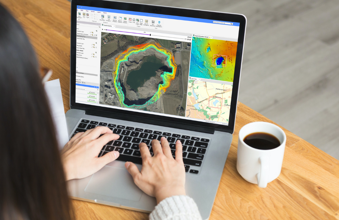
We also provide MapInfo Pro and Global Mapper software, along with QGIS and MapInfo Pro training, helping mining and exploration teams turn complex geospatial data into actionable insights that improve exploration, planning, operational efficiency and decision-making.

Retail, Franchise and Media
Location Intelligence for Retail, Franchises & Media
Make smarter decisions with location intelligence and accurate spatial data. We help retailers, franchise networks, media agencies and brands understand customers, competitors and markets through detailed location-based insights.
Analyse demographics, foot traffic, gyms, quick-service restaurants (QSRs), shopping centres and other key locations—or let us build a bespoke location dataset tailored to the brands, sites or markets you need to understand. From retail site selection and franchise territory planning to geomarketing, media planning and out-of-home (OOH) advertising, we turn location data into actionable insights that support better decisions and drive growth.
Urban Forest & Sustainability

Tree Canopy Analysis, Planting Potential & Urban Heat
We help local governments measure, analyse and plan urban forests, tree canopy and climate resilience using high-resolution tree canopy mapping, vegetation analysis, LiDAR, remote sensing and Geo AI.
Our spatial analysis supports urban forest strategies, tree canopy targets, heat vulnerability assessments, tree planting programs and climate-resilient urban design. By combining spatial data, advanced remote sensing and GIS, we help councils understand where investment is needed and develop practical strategies to create greener, cooler and more liveable communities.
Helping You Eliminate Blind Spots: Our Services
Systems Integration: Effortlessly integrate location data and geospatial solutions into your enterprise systems.
GIS Strategic Reviews: Insightful reviews and recommendations to strengthen your GIS strategy.
Training Programs: Upskill your team with hands-on GIS training, covering QGIS, MapInfo Pro, Spectrum Spatial Analyst, and SQL Server Spatial.
GIS Consulting Services: Flexible, cost-effective and expert consulting and managed services.
Geocoding and Address Management: Our geocoding and address management solutions convert raw location data into precise coordinates, enabling smarter mapping, analysis, and decision-making – fast, reliable and ready to use.
Custom Software Development: We deliver custom software to meet your unique spatial needs, from QGIS plugins and automation tools to interactive web mapping applications.
Why Work with Us
End-to-End Solutions
A single partner for all your spatial needs – there’s no need for multiple providers. We offer software, data, training, and consulting all under one roof.
Proven Expertise
The Spatial Distillery founders, Dan Haigh and Nigel Lester, studied spatial data science and are GIS professionals who have worked in the geospatial industry since 2000. Their combined experience spans government, telecommunications, retail, utilities, natural resources, engineering and enterprise GIS, bringing more than 25 years of practical industry knowledge to every project. The Spatial Distillery continues to grow with a team of leading spatial consultants and specialists, bringing deep expertise across GIS, spatial data, software, consulting and emerging technologies to help clients solve complex real-world problems.
Personalised & Responsive
We’re known for being fast to respond, easy to work with, and for creating customised training that makes GIS simple to use, learn, and master.
Strategic Partnerships & Quality Data
We partner with the best to provide high-resolution satellite imagery, advanced datasets, and cutting-edge tools you can’t find elsewhere.
Turn Data Into Action
The Spatial Distillery Company is here to make location intelligence simple, modern, and impactful. We combine the best GIS mapping software, high-value spatial data, and hands-on expertise to help you make smarter business decisions.
Let’s map your future. Speak to our team today.
FAQs
-
We simplify what’s traditionally been complex. Instead of juggling multiple providers, you’ll get comprehensive solutions from us, with everything you need in one spot. Plus, we partner with leading names like Maxar, Picterra and Nearmap to give you access to the highest quality data and tools available.
-
Both. We run regular online courses in QGIS, MapInfo Pro, SQL Server Spatial, and FME, plus we create custom training tailored to your industry or organisation. From beginners to advanced users, our training is designed to give you practical skills you can apply seamlessly.
-
Absolutely. Through The Data Distillery, we offer one of the most in-depth spatial data catalogues in Australia and New Zealand. This includes Maxar satellite imagery, RF planning datasets, 3D building, vegetation data, human movement, demographics, consumer spend, segmentation data and more.

The Data Distillery
Our spatial data catalogue is the most comprehensive, accurate & up to date available.
We only partner with the best in the industry







“We are data distillers turning raw data into elegant location intelligence solutions.”
The Spatial Distillery Co.