
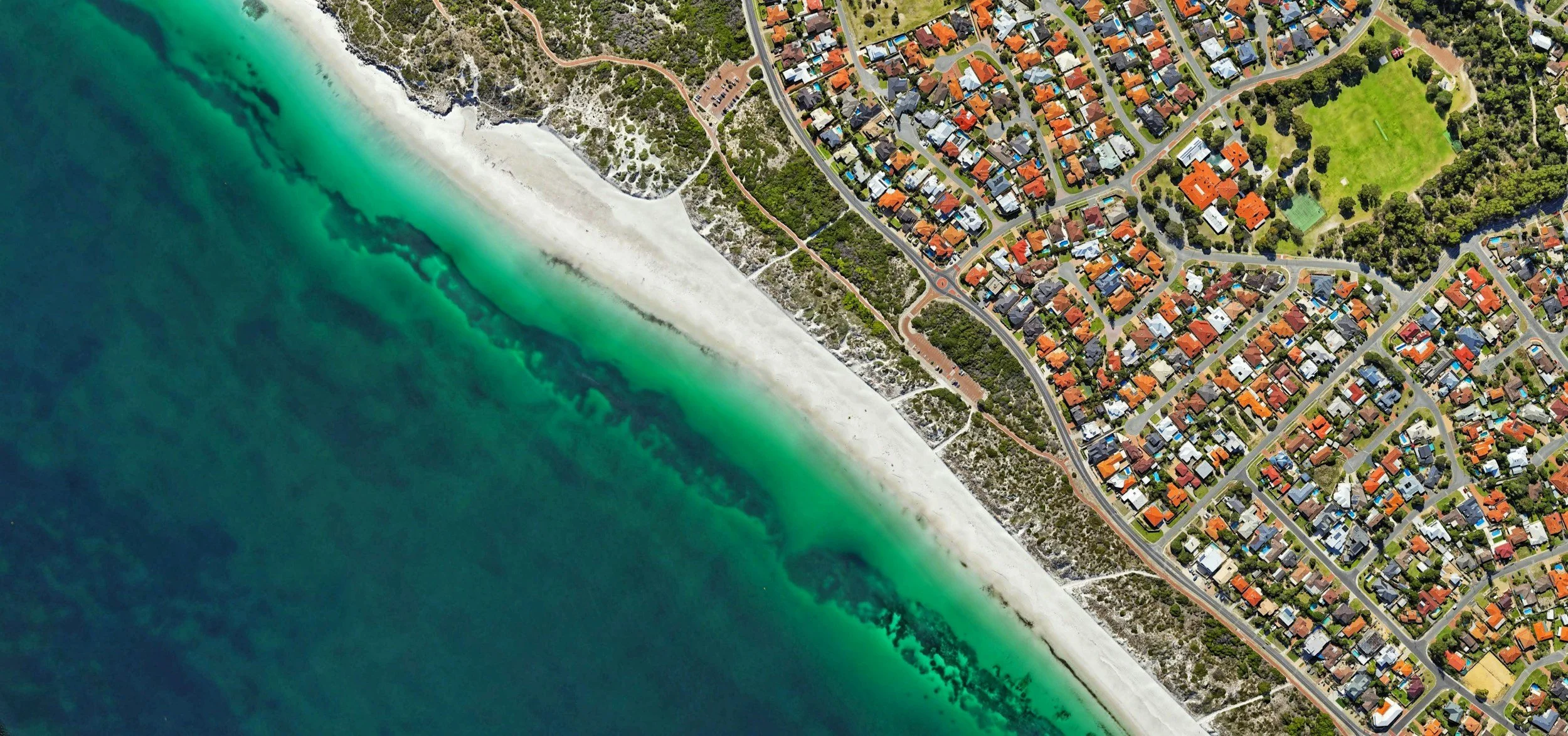
Geo AI
Turn geospatial imagery data into powerful deep learning models
Detect objects, patterns, and change faster than ever before by managing the entire geospatial ML pipeline with our cloud-native platform. With The Spatial Distillery Company, you can unlock the full potential of GeoAI, supported by expert GIS consultants, scalable workflows and full integration with other geospatial services..
Autonomously create & deploy ML models at scale
With Picterra you can create a scalable system to operate geospatial machine learning models in production and continuously develop them. Create deep learning models quickly and efficiently with help of smart annotation toolkit and user friendly UI. Leverage state of the art machine learning models architecture with the ability to customize the algorithms to your specific needs and benefit from best-in-class support from our team of experts.

1. Access to advanced detector settings
Accelerate model creation and production deployment by relying on a thoroughly tested and optimized standard detector settings. Experiment with advanced model settings such as backbone model, training tile size, or background sampling ratio.
5. Smart annotation & drawing tools
Intuitive model training toolbar that helps you structure all the steps required to create, train and deploy your custom model.
2. Auto-scaling on cloud infrastructure
Custom deep learning architecture optimized for geospatial imagery. Auto-scaling infrastructure with adjustable capacity to ensure predictable and efficient processing. Fast prototyping and large scale inference.
6. Model development & training UI
Easy to use web UI for no-code ML model training Import existing data using the API and advanced detector settings. Run your model on an entire image library with one click thanks to fully automated model production deployment.
3. Detector training report
Get insights into how your model is performing, understand accuracy across multiple classes and analyze your model behavior.
7. Optimized detection areas
Draw or upload existing detection areas. Ensure fast and accurate detectors by customizing the shape and size of detection areas. Useful when monitoring linear objects (e.g., railways, roads, rivers) or AOI scattered within the imagery.
4. Detector accuracy score
Assess performance of your model. Compute accuracy score with the help of representative accuracy areas and example regions your model will run on when deployed at scale.
8. Single or multi-detector workflows
Assign up to 10 classes in a single detector (instance & semantic segmentation). Achieve efficient and faster workflows when working with sub-classification or sub-categorization of objects within a specific class.
Apply Geospatial Artificial Intelligence Across Real-World Workflows
Picterra’s geospatial AI platform gives you the tools to turn aerial and satellite imagery into structured intelligence, solving critical challenges across industries.
Use geospatial artificial intelligence to monitor land degradation, verify regenerative agriculture claims, or track infrastructure change over time. From ESG reporting to supply chain assurance, GeoAI enables rapid insights at a regional or global scale.
Geospatial AI Built for End-to-End Integration
Results shouldn’t be platform-bound. Export detections as structured outputs or integrate them with your existing GIS stack. Combine Picterra’s geospatial AI outputs with Maxar satellite imagery, or connect workflows into your own dashboards and data pipelines.
With support from our geospatial services and GIS training, it’s easy to operationalise GeoAI across teams, departments and datasets.
Experience GeoAI Designed for Clarity
When disconnected tools, delayed audits, and static reports create blind spots, your decisions are based on guesswork. Picterra solves that with GeoAI, giving your team full operational control and visibility.
Contact The Spatial Distillery Company and turn raw imagery into actionable insight – at scale, on your terms.
GeoAI FAQs
-
Picterra supports various geospatial imagery, including satellite, aerial, drone and UAV data. From high-resolution orthomosaics to standard satellite tiles, this geospatial artificial intelligence platform allows you to build and deploy machine learning models quickly.
-
Thanks to its cloud-native architecture and smart annotation tools, most users can create and train a geospatial machine learning model in hours. With auto-scaling and pre-configured detector settings, training with Geo AI is fast, efficient and doesn’t require a data science background.
-
Yes. Picterra’s geospatial AI is used by organisations across government, infrastructure, and environmental sectors, where accuracy, transparency, and reproducibility are crucial. The platform provides detector training reports, accuracy scoring, and audit trails, so you can meet compliance needs and provide evidence-backed insights. All imagery is processed securely in the cloud, with enterprise-grade data protection protocols in place.