
Home > Industry Solutions > Local Government
GIS & Place-based Solutions for Local Government
The Spatial Distillery Co. help Australian Local Councils understand, manage and improve the places they serve
Place based decision making
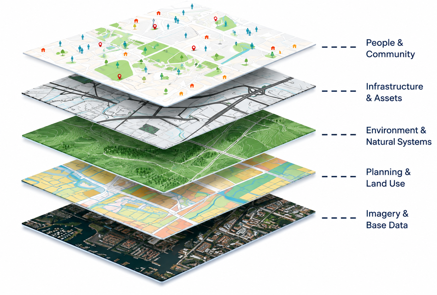
Every road, park, property, tree, building, community facility and piece of infrastructure exists somewhere. Understanding how these things connect — and how they affect the people who live, work and move through a place — is fundamental to good local government.
Spatial Distillery helps councils turn spatial data into better decisions about place.
We work with Australian local governments to improve GIS capability, modernise spatial systems, manage geospatial data, build mapping applications, analyse imagery and environmental data, support field teams and explore how AI can make spatial information more accessible.
Whether you're developing a place strategy, planning infrastructure, managing your urban forest, improving services or simply trying to get more value from your GIS, we help turn location data into place-based intelligence.
Real Outcomes for Real Communities
-
![Nearmap AI tree canopy data analysed by The Spatial Distillery Co. to provide actionable spatial insights for urban forest planning, greening strategies and investment decisions]()
Brimbank City Council — Turning Tree Canopy Data into Location Intelligence
Nearmap AI tree canopy data provides a detailed view of canopy coverage across Brimbank, with analysis from The Spatial distillery Co. transforming complex vegetation data into actionable insights for urban forest planning, greening and investment
-
![Satellite Imagery for Local Government]()
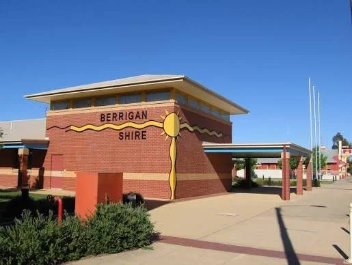
Berrigan Shire Council — On-Demand Satellite Intelligence
High-resolution, regularly refreshed satellite imagery through Vantor Hub provides Berrigan Shire Council with current location intelligence to monitor change, understand infrastructure and land use, and support informed decision-making.
-
![GDA2020 spatial data conversion and geodatabase services]()
Randwick City Council — Modernising Spatial Data for GDA2020
Legacy spatial data converted and consolidated into a modern GDA2020 geodatabase, improving data consistency, accuracy and compatibility with Council’s contemporary GIS environment.
-
![Mobile GIS field data collection solutions that capture accurate weed locations, observations and control activities in the field, connecting on-ground inspections with mapping, reporting and ongoing weed management.]()
Rous County Council — Mobile Field Data Collection for Weed Management
Mobile GIS field data collection puts accurate weed locations, observations and control activities directly into the hands of field teams, creating a connected workflow from on-ground inspection to mapping, reporting and ongoing weed management
-
![Cemetery GIS mapping and spatial data management]()
Broken Hill City Council — Digitising Plots
Cemetery plot records transformed into accurate digital spatial data, creating a searchable map of graves and plots to support more efficient cemetery management, record keeping and public access.
-
![QGIS Training for Local Government]()
Campbelltown City Council — Building QGIS Capability
Practical QGIS training builds staff confidence and in-house capability, enabling teams to work more effectively with spatial data, analysis and mapping.
-
![GIS System Integration for Local Government]()
GIS Integration — Connecting Council Systems
We integrate GIS with the systems councils rely on every day, including , Authority, Pathway, CouncilWise, Confirm, Assetic, Conquest, Ready Community, Content Manager and Microsoft 365 - connecting spatial data with business systems to create seamless workflows and better access to location intelligence.
-
![QGIS training courses for local government councils]()
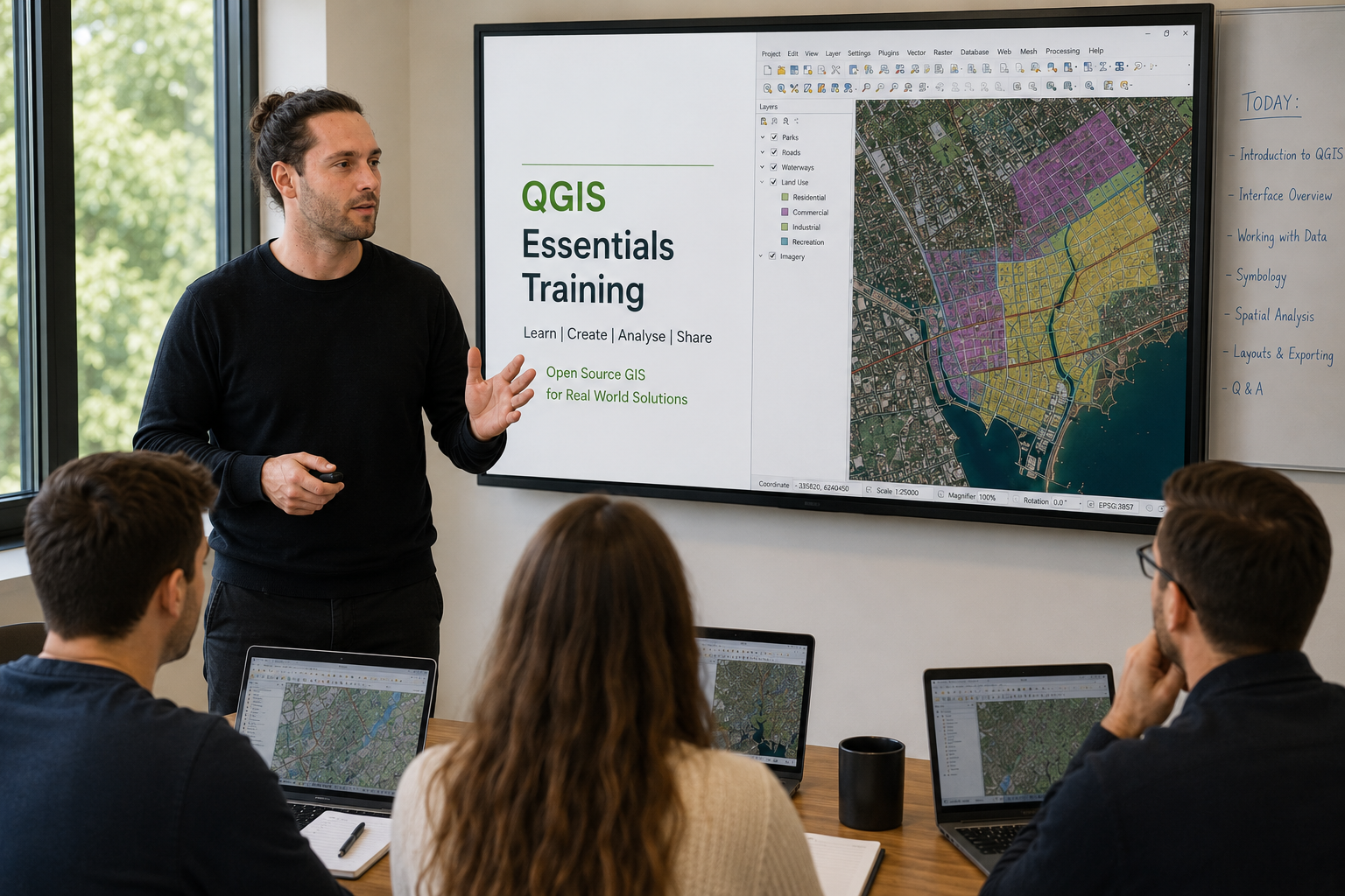
QGIS Training — Building Capability Across Local Government
We help councils across Australia get more from QGIS through monthly practical training courses designed for local government teams. Beyond building skills, the sessions provide a valuable opportunity to network, share ideas and see how peers across other councils are using QGIS and spatial data.
-
![GIS modernisation services for local government and councils]()
Enterprise GIS — Modernising Council Spatial Technology
Spatial Distillery supports councils across Australia to modernise their GIS software and spatial data, spanning field, desktop, web GIS and AI. The result is more accessible, connected and effective location intelligence across the organisation.
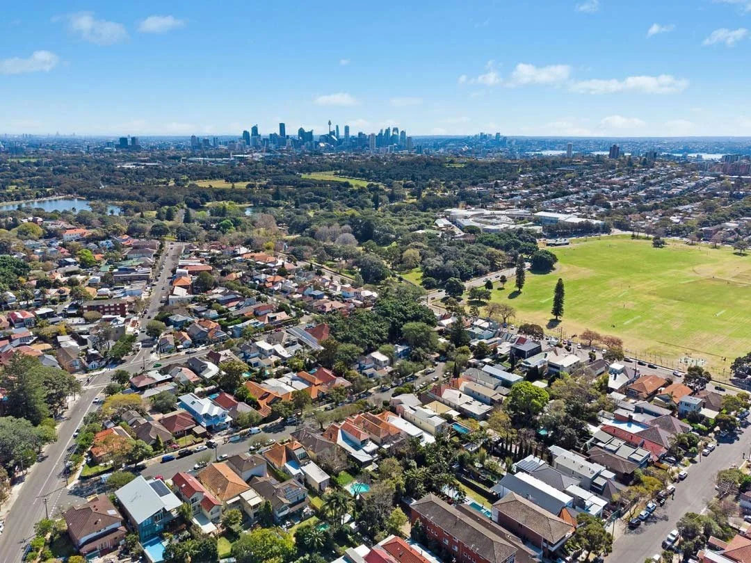
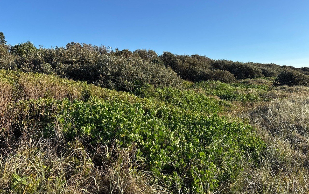
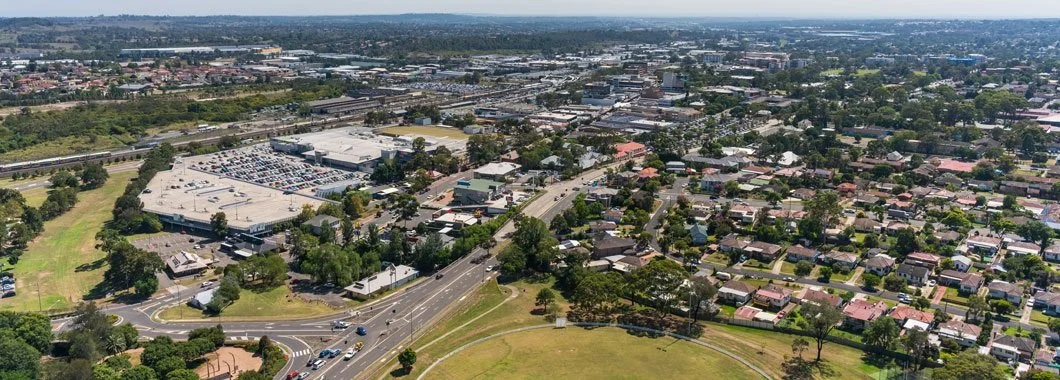

Enterprise GIS & spatial systems
Make GIS part of the organisation — not just the GIS team
GIS should not be an isolated mapping function.
A modern council's spatial information can support planning, infrastructure, environment, customer service, field operations, property, emergency management and executive decision-making.
Spatial Distillery helps councils build and improve enterprise GIS environments that connect spatial data, systems, people and workflows.
Our work can include:
Enterprise GIS architecture
Spatial databases
Web GIS
GIS portals
Data services and APIs
System integration
Spatial workflows
GIS platform optimisation
Migration and modernisation
Governance and standards
We work across technologies including QGIS, MapInfo Pro, Global Mapper and web-based GIS.
The goal is simple: Make GIS a useful part of the organisation, not just a specialist tool used by the GIS team.

Connected Field operations
Connect the office, the field and the map
Council staff need to capture and access information wherever the work happens.
We help councils connect field teams with their spatial systems, reducing duplication between field work, spreadsheets and back-office GIS.
Use cases include:
Asset inspections
Parks and open space
Tree inventories
Roads and footpaths
Environmental inspections
Compliance
Maintenance
Infrastructure
Field surveys
Mobile data collection
Capture → Validate → Sync → Analyse → Report
A connected spatial workflow means better data, less duplication and faster access to information.

Imagery, remote sensing & environmental intelligence
Turn imagery into information
Councils have access to an enormous amount of aerial imagery, satellite imagery, LiDAR and Earth observation data.
The challenge is turning that imagery into information that can actually support council decisions.
Spatial Distillery works with high-resolution imagery, satellite imagery, LiDAR and other spatial datasets to help councils understand what's happening across their LGA.
Applications include:
Urban tree canopy
Urban forest assessment
Vegetation mapping
Land cover
Heat and thermal analysis
Environmental monitoring
Change detection
Development monitoring
Asset and infrastructure analysis
We help move councils beyond simply looking at imagery towards extracting intelligence from it.
Urban forest, tree canopy & heat analysis
Understand where your community needs more shade
Urban greening is a growing priority for Australian councils.
Spatial Distillery combines GIS, high-resolution imagery, remote sensing and spatial analysis to help councils understand:
Where is canopy today?
Where are the gaps?
Where could additional trees be planted?
Which communities are most exposed to urban heat?
How can canopy targets be measured and monitored?
Our urban forest and spatial analytics work supports:
Tree canopy assessments
Urban forest strategies
Canopy targets
Planting opportunity analysis
Urban heat analysis
Vegetation mapping
Environmental reporting
Canopy change monitoring
Neighbourhood-level analysis
This turns environmental strategy into location-specific, measurable action.
Walkability & accessibility analysis
Understand how easily your community can access the places that matter.
The Spatial Distillery Co. helps councils undertake network-based walkability and accessibility analysis, using realistic walking routes rather than simple straight-line distances.
We can analyse access to:
Parks and open space
Community facilities
Schools and services
Public transport
Retail and other destinations
Our analysis can identify:
Walking catchments based on 5, 10 or 15-minute walking distances
Areas outside accessibility standards
Gaps in pedestrian connectivity
Priority areas for new infrastructure
Who can access what, and how easily
We can combine pedestrian networks with addresses, population, land use and council datasets to give councils a clearer picture of accessibility across their communities.
Use network-based spatial intelligence to support better planning, infrastructure and place-making decisions.
Why councils work with Spatial Distillery
-
We understand the operational reality of council GIS, from limited resources, to competing priorities, legacy systems, complex datasets and the need to demonstrate value.
-
GIS is our speciality. We bring practical experience across GIS platforms, spatial data, imagery, field systems, application development and spatial analytics.
-
We don't believe every council needs the same platform or solution. We work with the technology that makes sense for your organisation.
-
Our focus isn't simply producing maps.
We connect spatial technology with the business processes and decisions that matter to your organisation.
-
From a one-off GIS project to ongoing managed services or an embedded GIS resource, we can scale our involvement around your needs.
Local Government GIS FAQs
-
Spatial Distillery provides GIS consulting, enterprise GIS, spatial data management, GIS managed services, GIS Officer as a Service, custom GIS application development, web mapping, field GIS, spatial analytics, imagery and remote sensing, urban forest analysis, GIS training and AI-enabled spatial solutions.
-
Yes. Spatial Distillery provides ongoing GIS support and managed services, including GIS administration, spatial data management, analysis, mapping, troubleshooting, system support and specialist GIS capability.
-
Yes. Spatial Distillery works across multiple GIS technologies, including QGIS, MapInfo Pro, Global Mapper and web-based GIS. Our focus is on solving the council's business problem rather than prescribing a particular technology.
-
Yes. Our GIS Officer as a Service model gives councils access to experienced GIS capability as an extension of their existing team.
-
Yes. We can help councils clean, integrate, manage, analyse and maintain spatial data, including property, address, infrastructure, environmental and imagery datasets.
-
Yes. We provide GIS training, mentoring and support across technologies including QGIS, MapInfo Pro and FME.
GIS & Location Intelligence for Local Councils
The Local Government Enterprise Program (LGEP) provides Australian councils with affordable, flexible access to an integrated GIS and Location Intelligence platform designed specifically for local government.
The Spatial Distillery Company help councils use GIS, spatial data and location intelligence to improve operational efficiency, strengthen community engagement and make better place-based decisions.
LGEP brings the capabilities councils need to manage and use spatial information across the organisation into one integrated solution. It combines desktop GIS, web GIS, cloud services, mobile GIS, spatial data, data management and data quality to help councils make better use of their location-based information.
Whether you need to manage council assets, analyse spatial data, publish interactive maps, support field teams or give staff and the community easier access to location intelligence, LGEP provides a flexible foundation for modern local government GIS.
Explore our Services for Local Government
-
![Managed GIS services including GIS system management, patching, upgrades and ongoing support.]()
Managed GIS Services
Keep your GIS environment secure, current and reliable with proactive management and support.
-
![GIS Officer as a Service for flexible GIS expertise]()
GIS Officer as a Service
Extend your team with experienced GIS expertise without the cost of a full-time GIS specialist.
-
![GIS technical support for MapInfo, QGIS, FME, Vantor and other spatial technologies from The Spatial Distillery Co.]()
GIS Technical Support
Access experienced expert GIS support when you need it, from people who know the technology inside out
-
![Practical GIS training and capability development from The Spatial Distillery Co.]()
GIS Training & Capability
Build the GIS skills and confidence your team needs to get more from its spatial technology.
-
![Spatial analytics and location intelligence services from The Spatial Distillery Co.]()
Spatial Analytics
We transform location data into insights that reveal patterns, opportunities and risks.
-
![GeoAI and location intelligence for smarter spatial decisions]()
GeoAI & Spatial AI
Combine location intelligence with AI to discover insights and automate smarter spatial decisions.
-
![GIS software implementation, configuration and technical support from The Spatial Distillery Co.]()
GIS Software & Platforms
Get the right GIS technology, configured and supported to work for your organisation.
-
![Custom GIS applications, mapping solutions and spatial software development.]()
Custom GIS Development
Build spatial applications and tools designed around the way your organisation actually works.
-
![GIS workflow and spatial data automation services from The Spatial Distillery Co.]()
GIS Automation
Automate repetitive spatial workflows to save time, reduce errors and deliver data faster.
-
![Spatial data management, integration, quality and governance services from The Spatial Distillery Co.]()
Spatial Data Management
Build trusted, connected spatial data that your organisation can rely on.
-
![GIS integration with business systems, databases and enterprise applications.]()
GIS Integration
Connect GIS with the systems, data and workflows your organisation already uses.
-
![GIS strategy and spatial technology consulting from The Spatial Distillery Co.]()
GIS Strategy
Turn your spatial capabilities into a clear, practical roadmap for better decisions and better outcomes.










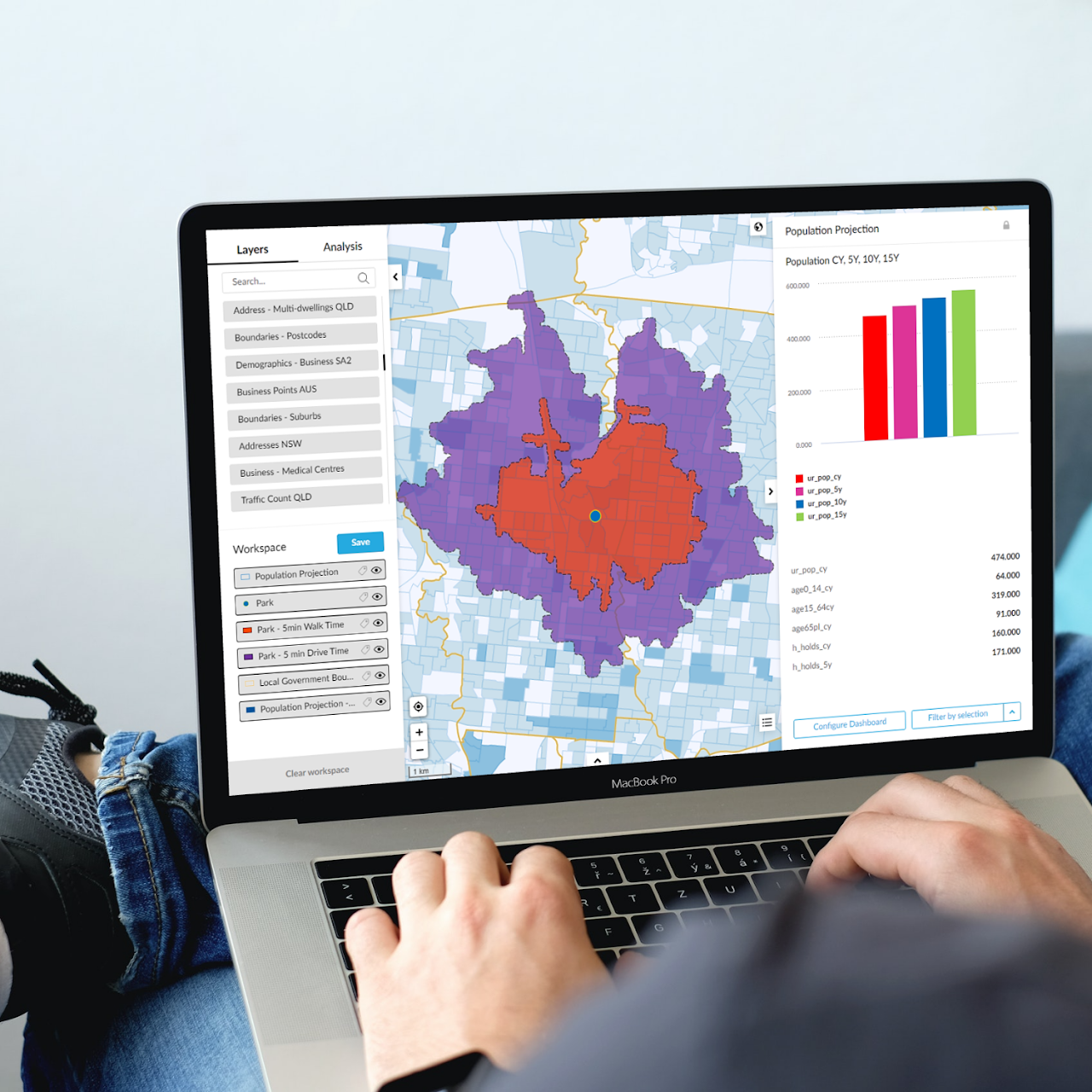
Council Maps
Census Intelligence for Local Government
Better decisions for People, Place and Planning
Turn Census and geo-demographic data into practical location intelligence for your council.
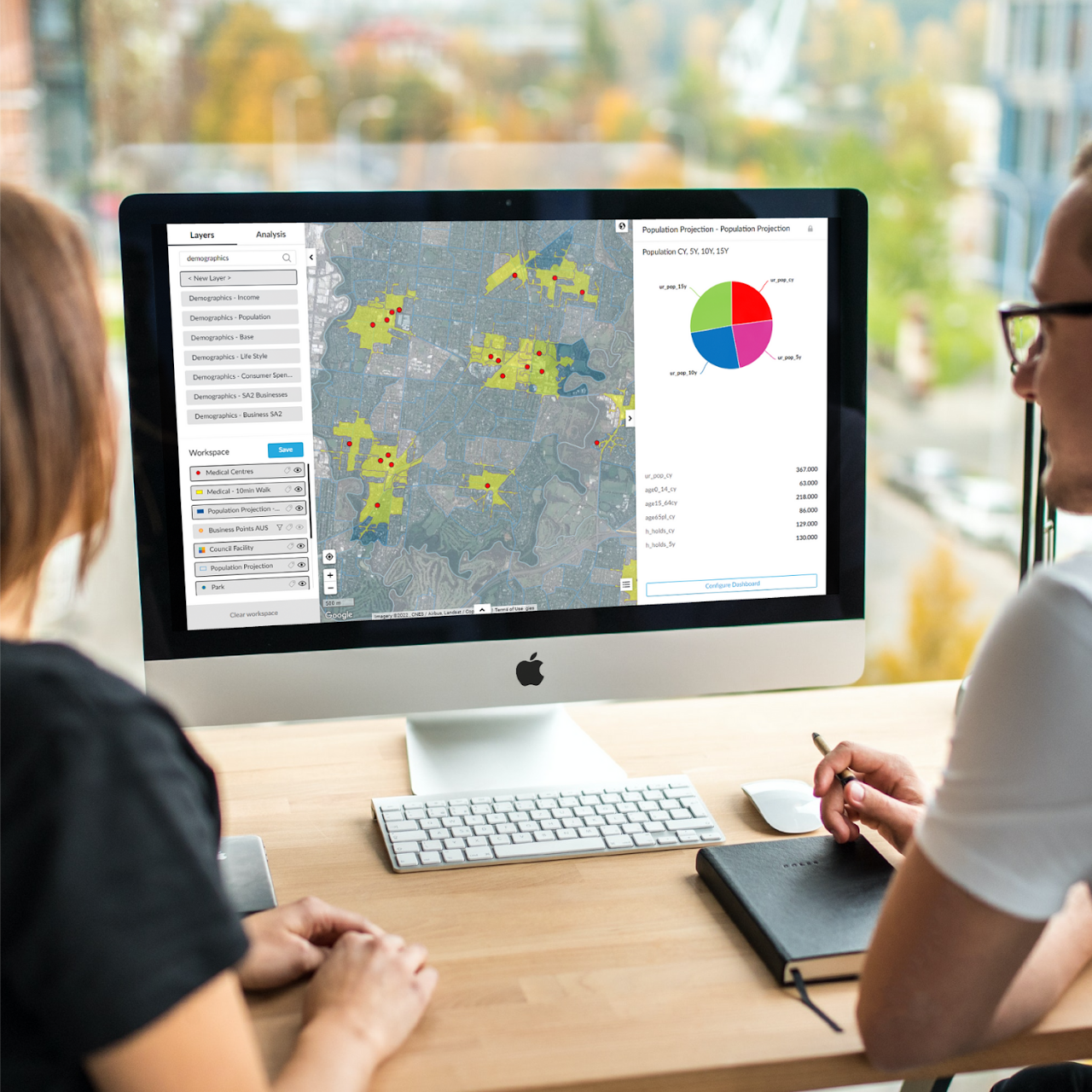
Council Maps gives local government teams easy access to the demographic, social and economic information they need to understand their communities, plan services and make better place-based decisions.
Explore 2021 Australian Census data alongside location-based insights to understand your communities, catchments, businesses, trade areas, potential sites and changing patterns across your local government area.
Understand your community. Plan with confidence.
Council Maps helps councils answer questions such as:
Who lives in our communities?
Where are population and demographic changes occurring?
Which communities may need different services?
Where are the opportunities for investment?
How do catchments and trade areas interact?
Where should services, facilities or infrastructure be located?
How do different neighbourhoods compare?
Bring People, Place and Planning together in one intuitive mapping and location intelligence environment.
Make better decisions with better data
Council Maps makes complex Census and geo-demographic information easier to explore, analyse and communicate — giving council planners, community teams, economic development professionals and decision-makers a clearer understanding of the places they serve.
Explore your council through data, maps and location intelligence.