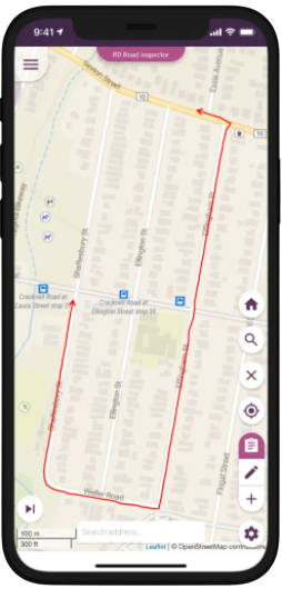
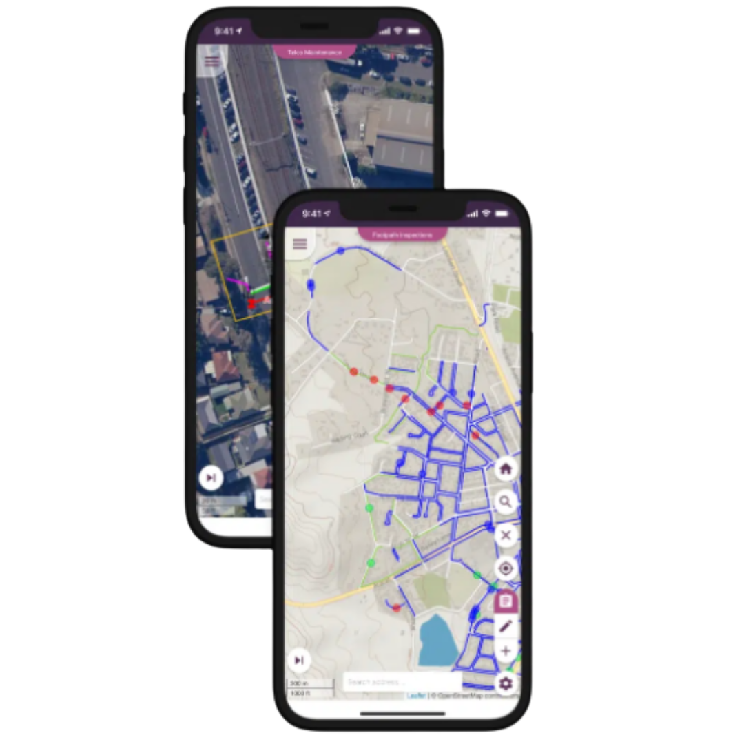
The konect Platform.
Mobile data collection projects, form building and stunning maps with NO CODE REQUIRED.
Local & State Government, Disaster Management, Utilities, Vegetation & Environment Mobile GIS.
Build rich forms.
Get started immediately, with quick to build forms specific to your needs.
Points. Lines. Polygons.
Maps are, by definition, full of topographical and geographical detail. Konect allows you to collect, record and inspect any type of data, in any terrain.
Online. Offline. Anytime.
No signal? Don’t let that stop you collecting and modifying data.
Simply watch the data automatically sync once you’re back online.
Wherever you are.
Whatever the data.
The only flexible location-based data collection app for your industry.
Revolutionise your workforce and boost productivity with one app, one platform.
Customise. Modify. Personalise.
Create maps, smart forms and custom workflows using our advanced project builder or choose from pre-made, industry-appropriate solutions.
Mobile GIS made easy
Set up your own maps, data forms and workflows without developer assistance.
Tailor an exact fit for your business with robust solutions delivered in days.
Use our maps or import yours from any format or any vendor.
Throw out your paper-based processes and start minimising your expenditure, and maximising your efficiency.
As processes evolve, configurations can be easily adapted without programming support.
Integrate easily with your existing systems.


