

Urban Forestry: Tree Canopy Analysis and Mapping
Urban Forest or Concrete Jungle?
The Spatial Distillery Company helps Local Governments better understand their Urban Forest environment. With specialist urban forest consulting and data services, we extract, analyse and report on vegetation, heat and demographics so Councils’ key stakeholders can inform policy to best engage and address community needs.

Urban Forestry Strategy & Planning: Turning Data into Actionable Insights
-

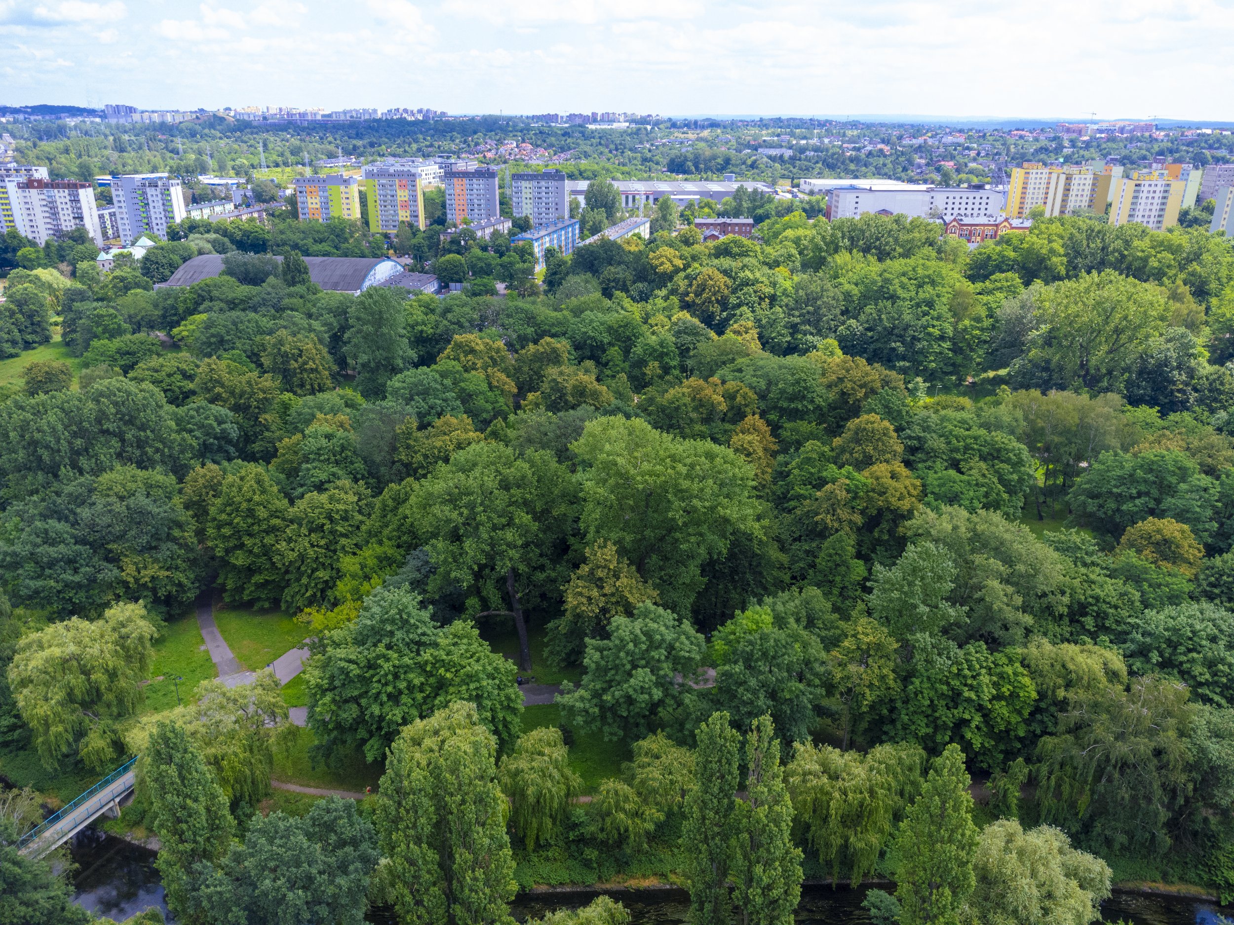
Tree Canopy
We specialise in extracting and analysing tree canopy data with precision and expertise. Using advanced remote sensing, LiDAR, and AI-driven analytics, we provide detailed insights into canopy coverage across the whole LGA or select townships and precincts only. By transforming complex geospatial data into actionable intelligence, we empower Local Governments to make informed decisions.
Using tools like Vantor, we process tree canopy GIS data into actionable insights. You'll get maps, reports, and datasets that your team can use immediately – no technical headaches. -

Urban Heat
Analysing urban heat in context to the built environment and tree canopy helps local councils identify heat islands, optimise green infrastructure, and improve urban planning. By providing data-driven solutions, we support Local Councils in creating cooler, more sustainable, and liveable cities.
-

Demographics
Understanding the relationship between trees, urban heat, demographics, and liability reveals how canopy cover impacts temperature, socio-economic factors, and well-being. These insights help cities design greener, more equitable spaces, improving climate resilience, public health, and overall urban sustainability.
-

Offerings
- Tree Canopy Benchmark Report
- Geo-AI vegetation extraction
- Analysis of Councils existing data (e.g. Nearmap, Lidar)
- Street Tree Count - remote ID and analysis
- Vegetation Removal Detection
- Field Data Collection
- Urban Heat Indexing and Heat Island ID
- Significant Tree Community Portals
Comprehensive Geospatial Services for Urban Forests
Urban forestry projects often require multiple capabilities – consulting expertise, data analysis, software tools, and ongoing support. As a specialist geospatial services provider, we offer end-to-end solutions that save you time and money.
We make location intelligence simple, so you can focus on growing healthy, resilient urban forests.
01
Strategic consulting and planning
02
Data acquisition and analysis
03
Software licensing and training
04
Technical support and troubleshooting
Why Urban Forestry & Urban Greening Matter
Australian councils face unique challenges. Budget constraints, water restrictions, extreme weather events, and competing land uses all complicate tree management. Our urban forest consulting approach addresses these realities head-on.
We've helped over 150 councils across Australia develop and implement urban forestry and urban greening strategies that work within their constraints. Our solutions balance environmental benefits with practical considerations like maintenance costs, liability management, and community expectations.
Get Started with Urban Forest Consulting
Whether you need help developing an urban forestry strategy, analysing tree canopy data, or training your team, we're here to help. At The Spatial Distillery Company, our expert consultants understand Australian conditions and deliver solutions that work in the real world.
Ready to improve your urban forest management? Get in touch to discuss your specific needs and find out how we can support your urban greening goals.
