
What is GIS?
(Geographic Information Systems)
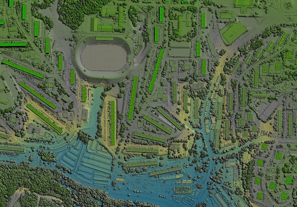
GIS (Geographic Information Systems) is technology used to capture, store, manage, analyse and visualise data that has a geographic or location component. GIS connects information to places, allowing organisations to understand relationships and patterns that are difficult to see in non-spatial data.
GIS can bring together many types of information, including satellite imagery, aerial photography, property data, demographic information, infrastructure, environmental data, addresses, transport networks and business information.
By putting these datasets on a map and analysing their spatial relationships, organisations can answer questions such as where something is, what is nearby, what has changed, where demand is concentrated and where action should be prioritised.
GIS Mapping Software
Turn raw data into maps, patterns, and clear insights you can act on with cutting-edge GIS solutions.
At The Spatial Distillery Company, we help organisations across Australia unlock the power of location with advanced GIS software. From mapping assets and analysing infrastructure to planning new developments and monitoring the environment, geospatial software brings clarity to complex data. Our GIS consultants make each process simple, accessible and impactful for your business.
With Spatial Distillery, You Get the Best GIS in Australia & New Zealand.
Where is GIS used?
GIS can be used for many purposes. It can be used for tracking population, economic development, and natural hazards. GIS can also be used for retail site selection, insurance mapping and telecommunications. GIS and digital mapping is used daily as part of web mapping apps, finding your favourite store or locating where your friends are in your favourite social media app. GIS is used across government and industry to understand locations, manage assets, analyse markets, plan infrastructure and support operational decisions.
-
GIS transforms complex datasets into interactive maps and visualisations that make information easier to understand. Organisations can combine multiple geographic layers to see how assets, customers, infrastructure, communities and environmental conditions relate to one another.
-
GIS allows organisations to analyse geographic patterns and relationships. Spatial analysis can identify clusters, calculate distances and catchments, compare locations, assess accessibility and reveal areas of opportunity or risk.
-
GIS can support route planning, fleet management, delivery analysis and transportation planning. Organisations can analyse road networks, travel distances, service areas and other geographic constraints to improve operational efficiency.
-
GIS is widely used to analyse vegetation, land use, terrain, waterways, environmental conditions and changes over time. Satellite imagery, aerial imagery, LiDAR and other remote sensing datasets can be integrated into GIS analysis.
-
Government organisations use GIS to support land-use planning, infrastructure investment, emergency management, environmental assessment, community services and resource allocation.
-
GIS data is commonly used for managing transportation. With the addition of environmental and real-time data in a GIS platform routes can be optimised and last-mile deliveries streamlined.
-
Telecommunications, utilities and infrastructure organisations use GIS to plan, design and manage networks. Spatial analysis can help assess coverage, infrastructure requirements, service areas, routes and potential locations.
-
GIS provides a geographic view of physical assets and infrastructure. Organisations can map assets, connect them to operational information, monitor their condition and support maintenance, renewal and investment decisions.
-
Businesses can combine customer, demographic and location data to understand where customers live, how markets are distributed and how different locations perform. GIS can support customer segmentation, catchment analysis, site selection and network planning.
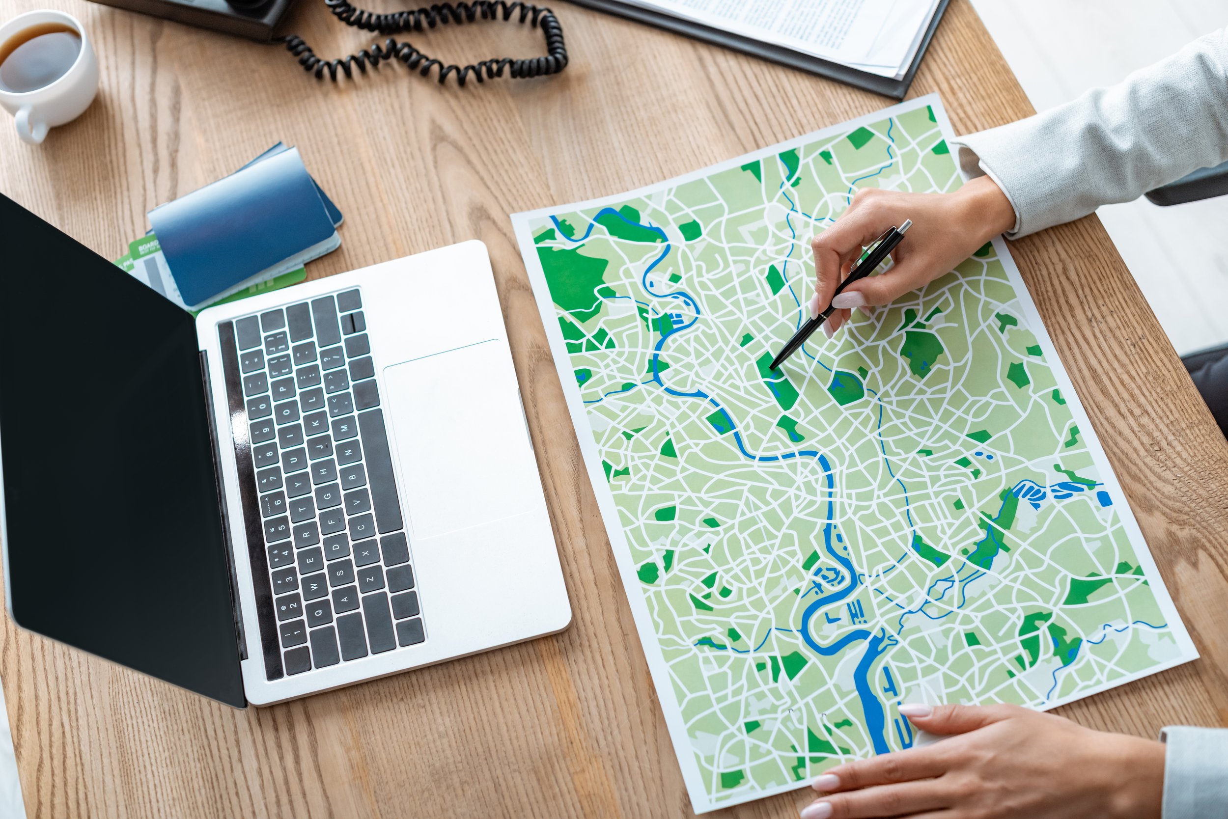
Understanding GIS Solutions Step-by-Step
A powerful decision-making tool, GIS in Australia has helped industries drive real change. Here’s how:
Visualisation: Using aerial imagery, data collection, GPS and remote sensing, GIS services project geographic data in a real-world context.
Mapping: Based on the layers of data, maps are created with the purpose of examining how different datasets interact.
Search & Analysis: GIS mapping software allows you to filter these layers to gain specific geographic answers.
Cross-Team Sharing: Teams gain in-depth knowledge across the board with interactive maps and dashboards.
Comprehensive Consulting, Training & Support for GIS Software in Australia
The Spatial Distillery Company is your single partner for geospatial services. With over 25 years of experience, we’ve built a reputation for practical expertise and responsive service. Learn how to effectively design and implement systems that work for you with our GIS training courses. From Maxar technologies to geospatial artificial intelligence like Picterra, our partnerships ensure access to world-class tools.
GIS Mapping Software FAQs
-
GIS stands for Geographic Information Systems. GIS technology is used to manage, analyse and visualise data associated with geographic locations.
-
Mapping is one function of GIS. GIS also provides tools for managing, querying, analysing, integrating and modelling geographic data. A GIS can use maps to help answer spatial questions and support decisions.
-
Desktop GIS runs directly on your computer, offering powerful tools for detailed analysis and map creation. It’s ideal for organisations needing offline access or complex, high-performance processing. Cloud GIS solutions, on the other hand, make your system accessible anywhere, with real-time collaboration and easy data sharing. Many organisations in Australia use a hybrid approach, combining desktop and cloud for maximum flexibility.
-
GIS can use many types of spatial data, including satellite imagery, aerial imagery, addresses, property information, demographic data, roads, infrastructure, environmental data, LiDAR and business datasets containing geographic coordinates.
-
We prioritise data security at every stage. Our GIS software in Australia includes encryption, role-based access controls and compliance with industry standards to protect sensitive datasets. When using cloud GIS services, providers also maintain secure servers with regular audits.
-
Yes. GIS can integrate with databases, asset management systems, CRM platforms, ERP systems, APIs, cloud platforms and other enterprise technologies. Integration allows geographic information to be combined with operational and business data.
-
Yes. TSDC provides GIS consulting, spatial data, software, systems integration, training and managed services to help organisations design, implement and improve GIS environments.
Talk to a GIS specialist
Whether you are starting a new GIS project, reviewing an existing spatial environment or looking for better ways to use location data, The Spatial Distillery Company can help.
Talk to our GIS consultants about your requirements.


