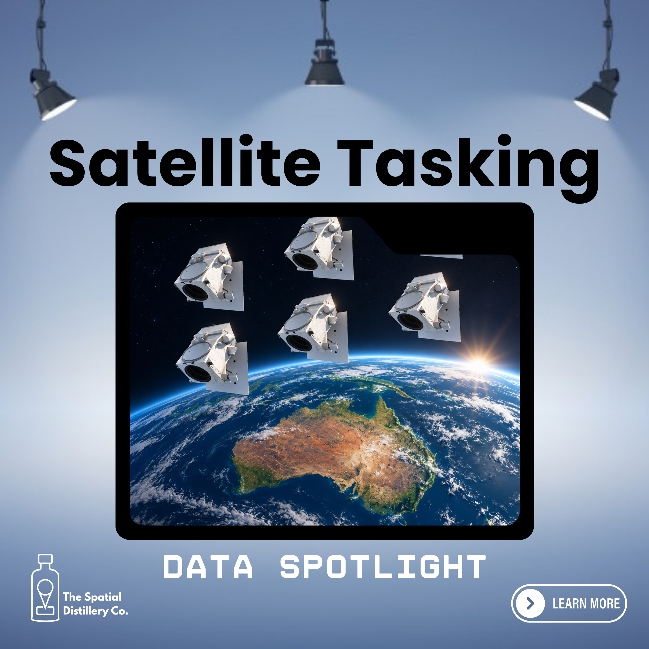
How Vantor’s high-resolution satellite imagery helps organisations monitor development, infrastructure and environmental change when up-to-date information matters.
Change happens constantly across our cities, landscapes and infrastructure networks. New developments take shape, vegetation changes, infrastructure expands and environmental conditions evolve.
For organisations responsible for managing these assets and environments, having an accurate and current picture of what is happening on the ground is essential.
But what happens when the imagery you need doesn't exist yet? Or when the next scheduled aerial survey is months away?
This is where satellite tasking offers a different approach.
Rather than relying solely on existing imagery, satellite tasking allows organisations to request new satellite image collection over a specific location, helping them capture important changes when they matter.
What is satellite tasking?
Traditional satellite imagery is often accessed through an existing archive of previously captured images. While this provides an extensive historical record, the most recent available image may not reflect current conditions.
Satellite tasking changes this approach.
It allows an organisation to request that a satellite collect new imagery over a defined area of interest. The collection can be planned around a particular location, timeframe and set of imaging requirements.
Using Vantor's high-resolution satellite imagery capabilities, organisations can access new imagery to support monitoring, assessment and decision-making.
Depending on the requirements, tasking options can provide different levels of collection priority, scheduling flexibility and cloud-cover considerations.
The result is greater control over when and where imagery is collected, rather than simply relying on what is already available.
Why does satellite tasking matter?
The value of satellite tasking isn't simply getting another image. It's having the information needed to make better decisions.
For many organisations, waiting for the next scheduled imagery capture can mean working with outdated information or relying on less effective methods of monitoring change.
Satellite tasking provides an additional way to obtain current information about places and assets that matter.
It can help organisations:
Monitor development: Track construction progress, land development and changes to the built environment.
Manage infrastructure: Observe changes around roads, rail corridors, utilities, pipelines and other critical infrastructure.
Understand environmental change: Monitor vegetation, land use, coastal environments and areas of environmental significance.
Support emergency response: Obtain new imagery to help assess affected areas following significant events, subject to collection conditions and availability.
Improve planning and compliance: Compare new imagery with historical information to identify changes and support investigations.
By collecting imagery at relevant points in time, organisations can build a more complete understanding of how an area is changing.
From one-off imagery to ongoing monitoring
One of the most valuable applications of satellite tasking is the ability to establish a repeat monitoring program.
Instead of treating imagery as a one-off purchase, organisations can plan collections around important milestones or recurring monitoring requirements.
For example, a local government authority might use satellite imagery to monitor development across a growth area. A telecommunications provider could monitor changes along an infrastructure corridor. A mining organisation might track land disturbance and rehabilitation over the life of a project.
By collecting imagery at different points in time, organisations can compare conditions, identify changes and build a historical record.
This creates opportunities to move beyond simply viewing the landscape towards understanding how it is evolving.
Vantor Tasking: Putting the right imagery in reach
Vantor provides access to a high-resolution satellite imagery constellation and tasking capabilities designed to help organisations collect imagery over specific locations.
Different tasking options can support different operational requirements, from time-sensitive collection through to planned future acquisitions.
Two options include:
FastView
For situations where collection timing is important, FastView provides a priority tasking option with a guaranteed collection window. This can be useful when organisations need to capture a location within a defined timeframe.
FlexView
For organisations planning ahead, FlexView provides the ability to schedule satellite collections in advance, with collection parameters designed around the required imaging conditions.
The most appropriate option will depend on the location, timing, area of interest, resolution and environmental conditions required.
Importantly, a guaranteed collection window does not necessarily mean a cloud-free image or immediate delivery. Weather, satellite availability and other collection conditions remain relevant considerations.
How does satellite tasking complement existing imagery?
Satellite tasking isn't about replacing aerial imagery programs or existing spatial data. It provides another source of information that can complement them.
Many organisations already use aerial imagery, LiDAR, satellite archives and other geospatial datasets as part of their operational workflows.
These sources each have different strengths.
Aerial imagery can provide highly detailed coverage of a defined area, while satellite imagery can offer broader geographic reach, historical archives and opportunities for targeted repeat collection.
For local government, for example, satellite tasking can complement coordinated aerial imagery programs by providing additional opportunities to monitor change between scheduled captures.
The key is understanding which imagery source is best suited to the problem being solved.
Who can benefit from satellite tasking?
Satellite tasking has applications across a wide range of industries.
Local government
Monitor urban growth, development activity, vegetation change, land use and environmental conditions. New imagery can help councils maintain a more current understanding of their local government area.
Telecommunications and utilities
Monitor infrastructure corridors, network expansion, surrounding land use and changes near critical assets.
Mining and resources
Support monitoring of operational areas, land disturbance, rehabilitation and environmental change across large and often remote sites.
Infrastructure and engineering
Track construction progress, monitor project areas and establish a visual record of changes throughout the project lifecycle.
Environmental management
Observe changes to vegetation, waterways, coastlines and other environmentally significant areas to support assessment and monitoring programs.
Turning satellite imagery into operational intelligence
Accessing satellite imagery is only part of the equation.
The real value comes from making that imagery available to the people, systems and processes that need it.
This is where The Spatial Distillery Co. (TSDC) adds value.
As a spatial systems integrator, TSDC helps organisations access Vantor imagery and incorporate it into their existing geospatial environments and operational workflows.
Our support can include:
Imagery requirements: Helping define the area, timing, resolution and collection requirements for a tasking request.
Tasking support: Helping identify the most appropriate Vantor tasking options for the intended application.
Vantor Hub access: Providing access to the Vantor imagery platform and supporting imagery discovery and management.
GIS integration: Incorporating imagery into existing platforms such as QGIS, Esri and MapInfo Pro.
Enterprise integration: Supporting the delivery of imagery into web GIS, enterprise systems, asset management platforms and internal mapping applications.
Training and ongoing support: Helping teams understand how to access, manage and use satellite imagery effectively.
Our focus is on making satellite imagery practical and accessible within the systems organisations already use, rather than creating another disconnected source of information.
Don't just monitor what has changed. Be ready to understand what is changing.
Organisations need reliable, current information to manage assets, plan for growth and respond to change.
Satellite tasking provides another way to obtain that information, giving organisations greater control over when and where new imagery is collected.
Whether you're monitoring urban development, managing infrastructure, overseeing mining operations or assessing environmental change, Vantor Tasking can help provide a more current picture of the places that matter.
The Spatial Distillery Co. can help you determine where satellite tasking fits, access Vantor imagery and integrate it into your existing GIS and business systems.
Want to explore what satellite tasking could do for your organisation?
Contact The Spatial Distillery Co. to discuss your imagery requirements.