Data Spotlight: Vivid Mosaic — A High-Resolution Satellite Imagery Basemap Explained
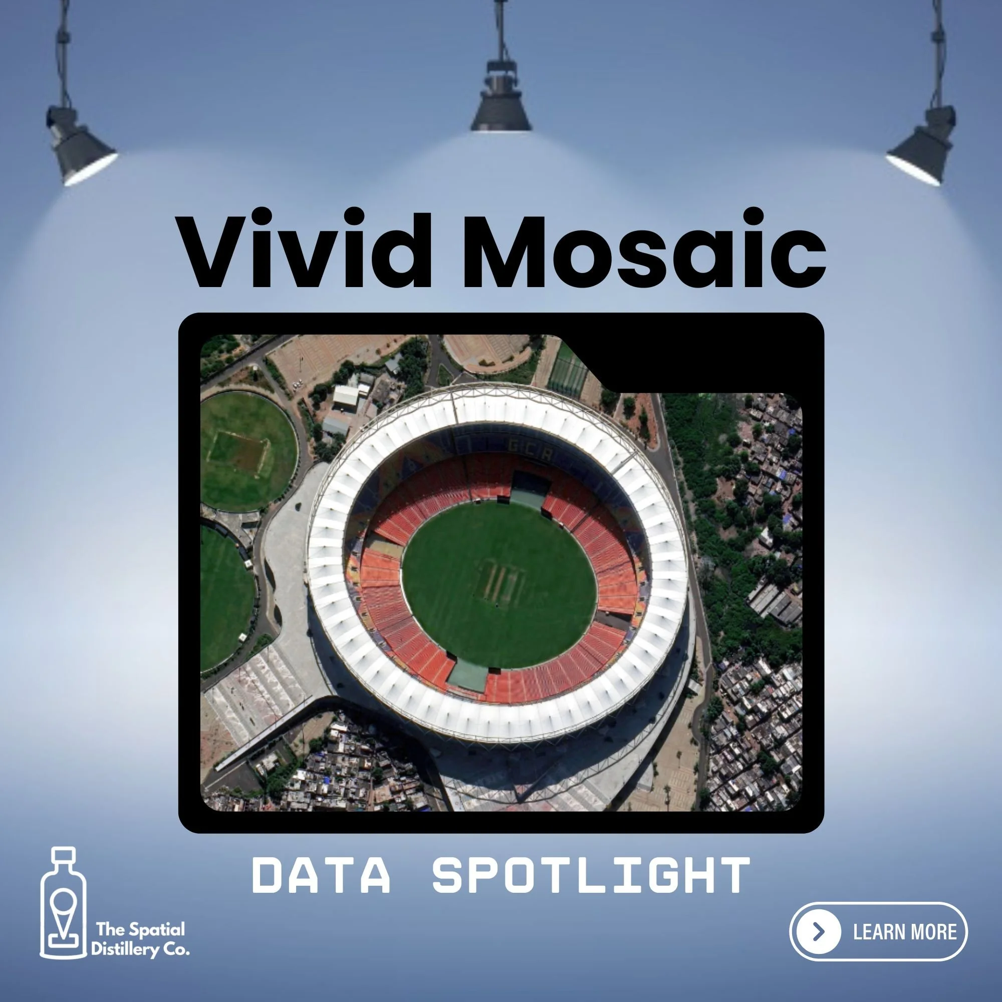
The satellite imagery quietly holding the world's maps together
What it is
Vivid Mosaic is a seamless, colour-balanced satellite imagery basemap covering the Earth's landmass, built at 30 cm resolution globally and 15 cm across cities and other high-interest areas.
It's produced by stitching together thousands of individual satellite images into one consistent layer, and it's regularly updated, with more than 30 million square kilometres of change and high-interest areas refreshed every year, rather than left as a single snapshot from one point in time.
Why it matters
Most digital maps, apps and planning tools rely on an imagery layer underneath them, and inconsistent or outdated imagery quietly undermines everything built on top of it.
Vivid Mosaic gives organisations a dependable, current foundation for mapping, monitoring and decision-making, without the cost or complexity of commissioning their own imagery.
Who uses it
GIS teams, urban planners, utilities, telecommunications providers, insurers, financial services, emergency services and government agencies all use it as background context or an analysis layer.
It also underpins consumer-facing products, including mapping platforms and even video games that need a realistic view of the real world.
What is a satellite imagery basemap? An everyday layer most people never notice
Open a mapping app, scroll through a property listing, or look at a bushfire response dashboard, and there's a good chance a satellite image sits quietly underneath it all. Nobody thinks about where that imagery came from or whether it's current. But someone has to, because when it's wrong, everything built on top of it is wrong too.
That's the problem Vivid Mosaic, a high-resolution satellite imagery basemap from The Spatial Distillery's partner Vantor, was built to solve. Rather than a single photograph of the planet, it's assembled from an enormous number of individual satellite images, colour-balanced and stitched together so the seams don't show, and continually refreshed as the world changes. Think of it less like a photo album and more like a living reference map that's always being quietly updated.
Why a high-resolution, up-to-date basemap matters
Organisations have always used satellite or aerial imagery for context, but consistency has traditionally been the problem. Piece together imagery from different sensors, seasons or years, and you get mismatched colours, visible seamlines, and no easy way to tell how old any patch is. That makes it hard to trust the map for anything beyond a rough visual reference.
Vivid Mosaic addresses this directly. It's processed for accuracy (better than 5 metres CE90 globally, meaning most points on the map sit within 5 metres of their true location), refreshed using AI-driven change detection that flags roads and buildings likely to have changed, and delivered with metadata showing the age and geometry of every pixel. For an organisation, that translates into fewer surprises: better-informed planning decisions, more reliable risk assessments, and less time spent second-guessing whether the map in front of you reflects reality.
At The Spatial Distillery, this is the question we push clients to ask before anything else: not "do we have imagery", but "do we trust it enough to act on it". A basemap that's out of date or inconsistent doesn't just look untidy, it quietly erodes confidence in every decision made on top of it.
Real-world applications
Government agencies use imagery basemaps like this for land use planning, infrastructure assessment and monitoring change across a region. Utilities and telecommunications providers use it to plan and maintain networks, assess line-of-sight for towers, and see what's changed on the ground since their last survey. Insurers and banks use current imagery to verify property conditions and assess risk without a site visit for every claim or loan. Emergency services use fresh imagery to understand conditions before and after an event, supporting faster responses. Property and real estate professionals use it to give buyers and planners an accurate, up-to-date view of a site.
Vivid Mosaic also has a track record outside traditional GIS circles. Perhaps surprisingly, it's been used to help build realistic mission environments for the flight combat game Ace Combat 8: Wings of Deceit. It's a good illustration of a point we make often at The Spatial Distillery: once a dataset is genuinely accurate and current, the uses for it tend to spread well beyond what it was originally built for.
A few numbers worth knowing
Vivid Mosaic's global 30 cm layer covers more than 136 million square kilometres, over 99.9 per cent of the world's landmass excluding Antarctica. Its 15 cm layer, reserved for cities and other high-interest areas, covers more than 9 million square kilometres, with imagery from 2024 or newer across most of that coverage. Beyond the off-the-shelf products, custom basemaps can also be produced to a specific area, image age, resolution (down to 15 cm) and spectral configuration, typically within one to four weeks.
Why it's worth understanding
Vivid Mosaic is a good example of how much of the world's decision-making now rests on data most people never see directly. It's not flashy, and it's not the headline feature of the apps and dashboards it supports, but it's the foundation that determines whether those tools can be trusted. For any organisation that plans, monitors or assesses risk across physical space, understanding what's behind the map is just as important as the map itself.
That's the lens we bring to every Data Spotlight: not just what a dataset is, but whether it's good enough to build a decision on.
Curious about how this dataset, or other spatial data, could support your organisation? Get in touch, we're always happy to chat.